Art style: 3D satellite terrain visualization.
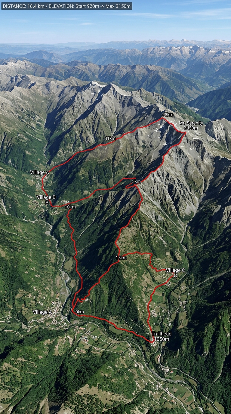
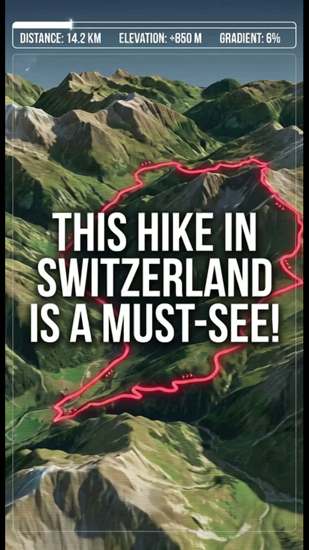
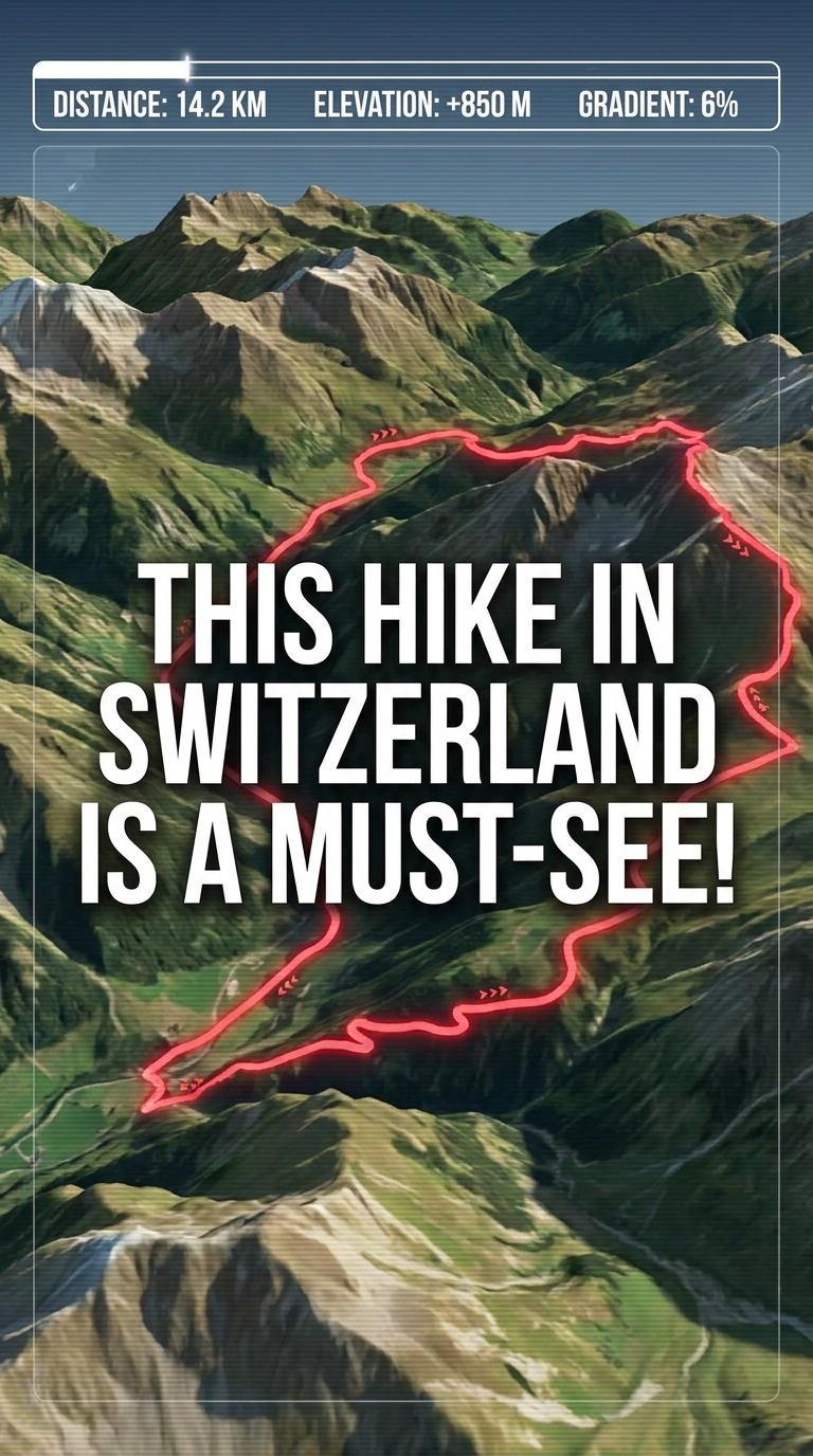
Aerial view of a mountain range with a red line tracing a path. Text overlays at the top show distance and elevation. Green valleys transition into rocky grey peaks. Small village clusters are scattered throughout the landscape. Bright daylight creates deep shadows across the steep terrain.
━━━━━━━━━━━━━━━━━━━━━━━━━━━━━━━━━━━━━━
FINAL STYLE ENFORCEMENT (this is the authoritative rendering directive — it overrides any style wording elsewhere in the prompt):
Render this image entirely in "3D satellite terrain visualization" style. Match the lighting grammar, material response, colour science, level of realism / stylisation, line weight, and shading model typical of "3D satellite terrain visualization". Keep the subject, composition, camera angle, lighting direction, and colour palette from the description above — but EVERY surface, skin, fabric, material, and environmental element must be rendered in the "3D satellite terrain visualization" idiom, not in any other medium.
